Quick Facts
- Top Trail: Pumamarka ruins (Moderate difficulty)
- Altitude peak: 11,800 ft (3,600m)
- Entry fee: 10 Soles (Cash only at the gate)
- Best logistics: Taxi to Pallata community, then hike down to town
- Key marker: Look for Utility Pole #36760 for trail access
- Strategic note: High-to-Low acclimatization for Machu Picchu prep
Ditch the tourist buses and lace up your boots. Ollantaytambo hiking offers more than just a stopover; it’s a high-altitude playground of hidden Incan fortresses and forgotten trails. Whether you're tackling the Pumamarka ruins hike or seeking solo hiking safety in Peru, these trails prepare your lungs and soul for the Andes. For the best experience, trek the trail to Pumamarka ruins at 11,800 feet—an Incan victory site that offers massive views and critical altitude acclimatization before you ever set foot in Machu Picchu. Returning via the road route provides a different perspective of the Andean scenery and Incan engineering.
The High-to-Low Strategy: Why Hike Here First
On my last expedition through the Sacred Valley, I noticed a common mistake: most travelers rush straight from Cusco to the train station, missing the atmospheric trails that surround Ollantaytambo. If you want to conquer the Andes like a pro, you need to understand the physiological benefit of hiking higher before your main event.
I call this the High-to-Low acclimatization strategy. Ollantaytambo sits at roughly 9,160 feet, but the surrounding trails like Pumamarka reach elevations near 12,000 feet. For context, the famous citadel of Machu Picchu sits much lower, at roughly 8,000 feet. Even the grueling climb up Wayna Picchu only reaches about 8,700 feet. By spending a few days exploring these hidden spots first, you allow your body to adjust to the thinner air in a setting far less crowded than the main tourist circuit.
There is a unique magic to using Ollantaytambo as your basecamp. It is often called the Living Incan City because people still live in the original stone structures built by their ancestors. When you hike here, you aren't just looking at history; you are walking through a functioning piece of Incan engineering that continues to provide water and shelter to the local Quechua communities.
Pumamarka Ruins: The Fortress Without the Crowds
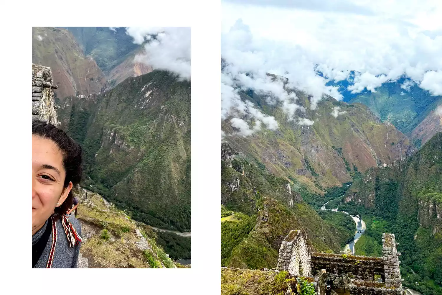
The Pumamarka archaeological site is located approximately 6 kilometers from Ollantaytambo and serves as a significant example of a pre-Inca and Inca fortress designed to control access to the Sacred Valley. Unlike the perfectly manicured stones of the main ruins in town, Pumamarka feels raw and untamed. Historically, this was a site of Incan victory, where warriors successfully defended their territory against Spanish incursions.
Finding Your Way: The Utility Pole Hack
Don't rely solely on digital maps here. In my experience, GPS signals can bounce off the steep valley walls, leading you into cow pastures rather than onto the trail. To find the trailhead from town, I recommend walking toward the Patacancha Valley. The real trick is looking for the physical infrastructure. Specifically, look for Utility Pole #36760 and #32992. These act as your lighthouse in a sea of confusing dirt paths.
Logistics: The Knee-Saver Route
If you want to maximize your time and save your joints, take a taxi from Ollantaytambo up to the community of Pallata. It’s a 20-minute drive that costs about 30 Soles. From Pallata, the walk to the ruins is a moderate uphill trek of about 30 to 45 minutes. After you explore the fortress, you can hike all the way back down to Ollantaytambo. This downhill return journey takes you through the Musqa Pukyo terraces, offering incredible views of ancient Incan engineering without the heavy lung-burn of a full uphill loop.
| Feature | Details |
|---|---|
| Pumamarka Altitude | 11,800 feet (3,600m) |
| Trail Length | 6km (Return trip) |
| Estimated Time | 3-4 hours total |
| Best Time | 7:00 AM to avoid the midday sun |
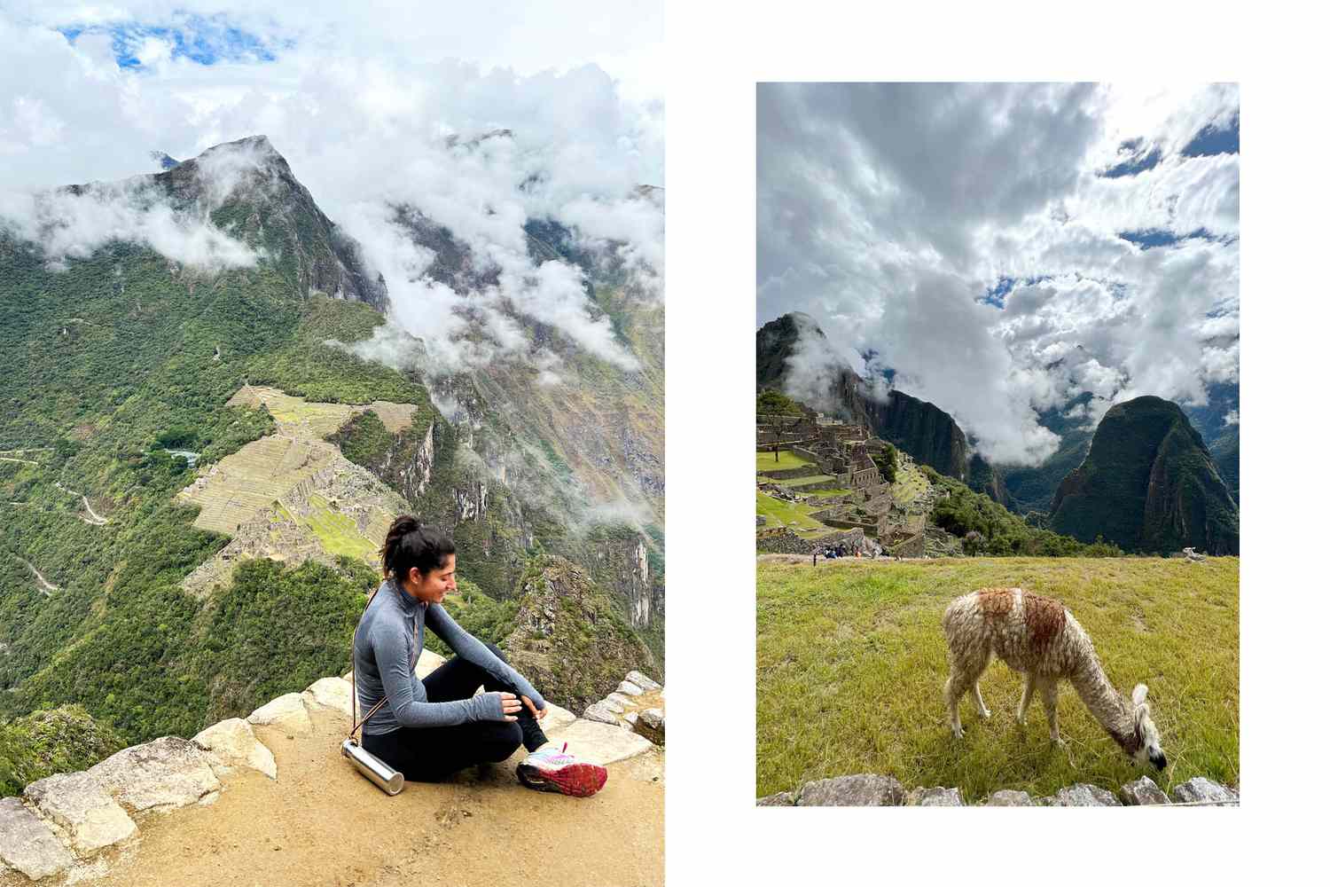
The Pumamarka ruins trail vs road route comparison is worth noting. The trail winds through agricultural terraces and follows ancient irrigation canals, giving you an intimate look at local life. The road route is easier to navigate but lacks the historical immersion. If you have the stamina, the trail is always the superior choice for photography and cultural context.
Beyond the Ruins: High-Altitude Gems
If Pumamarka leaves you hungry for more, there are two other massive challenges in the vicinity. The first is Inti Punku, or the Sun Gate. While most people know the Sun Gate at the end of the Inca Trail, Ollantaytambo has its own version that is much higher and arguably more spectacular.
The hiking trail to the Inti Punku near Ollantaytambo reaches an altitude of approximately 3,900 meters above sea level, requiring an elevation gain of over 1,000 meters from the town center. This is a full-day commitment. The trail follows an old Incan stone ramp used to transport massive blocks from the Cachiccata quarry. Standing at the gate, framed by the glacier-capped Peak of Mount Veronica, is a spiritual experience that very few tourists ever witness.
For those looking for a mix of nature and history, head toward the Perolniyoc waterfall. This hidden natural attraction features a cascade that drops approximately 100 meters down a cliff situated below the Raqaypata ruins. You can stand at the base of the falls to feel the mist and then climb up to explore the ruins perched precariously on the cliff edge. These sites are often free to visit, making them a refreshing alternative for those traveling on a budget who want to escape the crowds of the Sacred Valley.
Solo Safety and Essential Planning for the Sacred Valley
Hiking solo in the Andes is a soul-stirring experience, but it requires a level of preparation beyond your average weekend hike. Since Ollantaytambo sits above 9,000 feet, you must prioritize altitude sickness prevention. On my treks, I always carry a thermos of Muña tea—a local Andean mint that is remarkably effective at settling the stomach and clearing the head in thin air.
For solo hikers, especially solo female travelers, safety is about awareness and local connection. Stick to trails during daylight hours and let your hotel or hostel know where you are going. While the trails are generally safe, the weather in the Andes is notoriously fickle. You can go from blistering sun to a freezing hailstorm in fifteen minutes. Your packing list must include layers: a moisture-wicking base, a fleece, and a high-quality waterproof shell.
If you are unsure about navigating the more remote areas alone, working with local guides can enhance safety and provide valuable cultural context. I highly recommend reaching out to Kuska Expeditions or similar local community-led groups. They don't just show you the way; they explain the indigenous heritage and botanical secrets of the Patacancha Valley.
- Topographical map: Physical paper maps are essential when your phone battery dies from the cold altitude.
- Satellite GPS: For remote areas like the trek to Inti Punku, a Garmin InReach provides peace of mind.
- Small change: Many community-managed trails require a small entry fee (usually 5-10 Soles) paid in cash.
- Water purification: Carry a LifeStraw or purification tablets to stay hydrated without contributing to plastic waste.
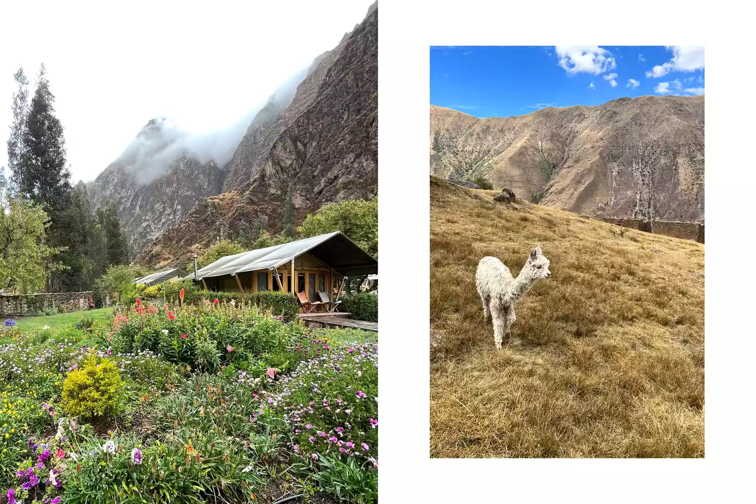
Sustainable tourism is a core part of the hiking experience here. When you hike specifically through the Quechua communities, you have the chance to support local weavers and farmers directly. Staying at small-scale eco-resorts or homestays ensures that your travel dollars stay within the community that maintains these ancient trails.
FAQ
Is hiking in Ollantaytambo difficult?
The difficulty varies by trail, but generally, Ollantaytambo hiking is considered moderate to challenging due to the altitude. While paths like the one to Pumamarka are well-defined, the climb from 9,000 to nearly 12,000 feet places a significant strain on the lungs and heart. It is recommended to spend at least two days acclimatizing before attempting the steeper climbs.
Do you need a guide for hiking in Ollantaytambo?
You do not strictly need a guide for popular trails like Pumamarka or the Pinkuylluna granaries, as the paths are relatively easy to follow with a good map. However, hiring a private hiking guide in Ollantaytambo is highly recommended for longer treks like Inti Punku or Perolniyoc to ensure safety and to learn about the deep Incan history and Quechua culture that you might otherwise miss.
Are the trails in Ollantaytambo free to hike?
Many trails, such as those to the Pinkuylluna storehouses and the Perolniyoc waterfall, are currently free to access. However, some sites like the Pumamarka ruins require a small entry fee of approximately 10 Soles, which is paid directly to the local community that maintains the site. Note that these are separate from the Cusco Tourist Ticket (Boleto Turístico).
Is it safe to hike alone in Ollantaytambo?
Yes, it is generally safe to hike alone, but standard solo hiking safety Peru protocols should be followed. Stay on marked trails, carry a satellite communication device for remote areas, and always finish your trek before sunset. Domestic dogs can sometimes be territorial near local farms, so carrying trekking poles is a good idea for keeping a respectful distance.
What should I pack for a day hike in Ollantaytambo?
Your pack should include a high-SPF sunscreen, a wide-brimmed hat, and plenty of water, as the UV rays are intense at this altitude. Essential clothing includes layers for the Andean climate, specifically a waterproof rain jacket and a warm fleece. Don't forget a physical topographical map, some local currency for entry fees, and coca leaves or Muña tea to help with altitude symptoms.