Quick Facts
- 2026 Permit Window: May 22 to September 7 (9 AM – 6 PM).
- Primary Route: Historic Columbia River Highway (US 30).
- Total Distance: Approx. 73 miles from Troutdale to The Dalles.
- Top Waterfall: Multnomah Falls (620 ft).
- Best Viewpoint: Crown Point Vista House (733 ft above river).
- 2026 Alert: Restrooms at Multnomah Falls under renovation until Nov 2026.
- Permit Cost: $2 via Recreation.gov for Multnomah Falls Exit 31.
A one-day Historic Columbia River Highway itinerary starts in Troutdale and follows the scenic road east through Waterfall Alley, requiring a $2 permit for Multnomah Falls during peak summer hours in 2026. This route is distinct from I-84, focusing on scenic heritage rather than speed.
The Historic Columbia River Highway, known as the King of Roads, offers a stunning Waterfall Alley Oregon itinerary. From the panoramic Vista House to the 620-foot Multnomah Falls, this guide covers essential 2026 permits and the best Columbia River Gorge scenic viewpoints. Construction began in 1913, led by engineer Samuel Lancaster and entrepreneur Sam Hill, who envisioned a road that would not only traverse the rugged cliffs of the Columbia River Gorge but also harmonize with the natural environment. It was the first planned scenic roadway in the United States, earning it National Historic Landmark status. Unlike modern interstates that cut through landscapes to save time, this highway was built to embrace the contours of the basalt cliffs, offering a slow-paced journey through the history of Early American engineering.
Entering the Gorge: Troutdale to Crown Point
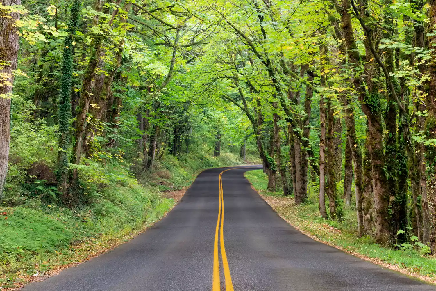
The adventure begins in Troutdale, a town often described as the gateway to the gorge. As you cross the Sandy River, the modern pace of the city fades, replaced by the towering presence of the Cascade mountain range. Before the road begins its climb, take a moment to appreciate the intentionality of the design. The stone guardrails and elegant arched bridges were inspired by the great mountain roads of Europe, intended to make the Columbia River Gorge accessible without marring its wild beauty.
As you ascend, your first essential stop is the Portland Women’s Forum State Scenic Viewpoint at Chanticleer Point. This is the classic postcard shot of the gorge, offering a sweeping view that includes the Crown Point Vista House perched on its rocky cliff and the river stretching toward the eastern horizon. It provides the perfect context for the journey ahead, illustrating the scale of the canyon carved by the ancient Missoula Floods.
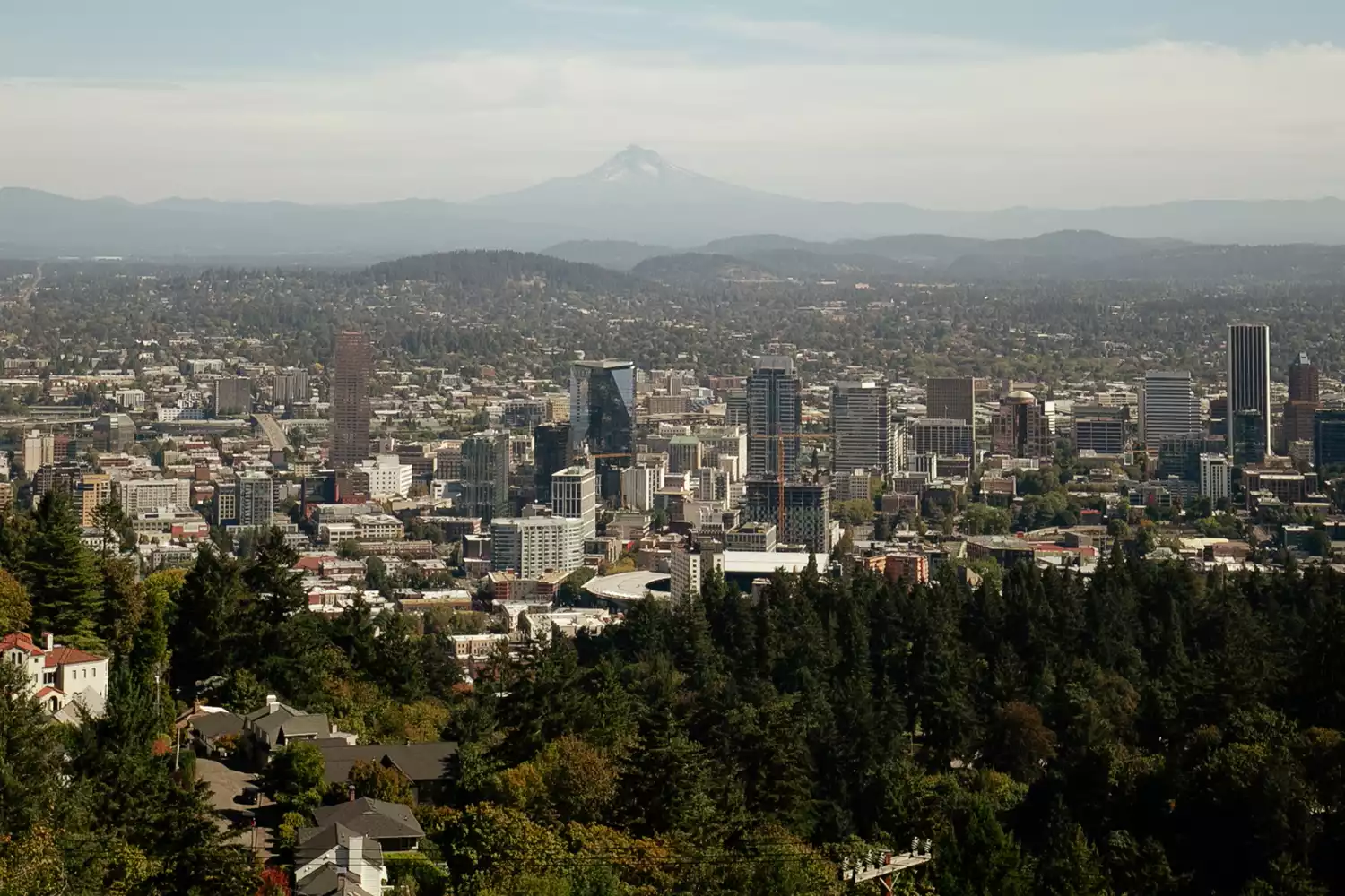
A few minutes further east sits the Crown Point Vista House. Completed in 1918, this observatory serves as both a rest stop and a monument to the pioneers of the Oregon Trail. Standing 733 feet above the water, its marble-lined interior and Art Nouveau windows offer a sophisticated contrast to the rugged terrain outside. The winds here can be fierce—often exceeding 80 miles per hour during winter—but on a clear day, the visibility extends for miles, showcasing the geographic transition that makes this region so unique.
Exploring Waterfall Alley: The Core Cascades
Descending from Crown Point, the road enters what locals call Waterfall Alley. This section of the Historic Columbia River Highway contains the highest concentration of waterfalls in North America within a 30-mile stretch. The Oregon side of the gorge is home to more than 90 named waterfalls, many of which are visible from the road or a short, accessible trail.
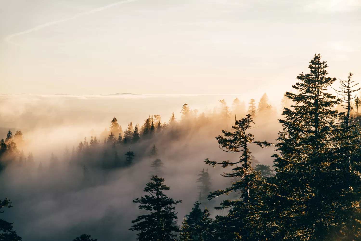
The geological story here is one of basalt rock formations. Massive layers of lava flows stacked over millions of years were eventually scoured by cataclysmic floods at the end of the last ice age, leaving behind vertical cliffs and "hanging valleys" where tributary streams now plunge toward the main river.
- Latourell Falls: This is the first major cascade you will encounter. It is unique for its vibrant neon-green lichen and the distinct columnar basalt formations that wrap around the falls like a stone pipe organ. A short walk from the parking lot brings you to the base of the 249-foot drop.
- Shepperd's Dell: A quieter stop featuring a stunning concrete arch bridge that spans a narrow canyon. The waterfall here is tiered and tucked away, offering a more intimate experience than the larger tourist hubs.
- Bridal Veil Falls: Located at the site of an old lumber mill, a half-mile trail takes you down to a wooden viewing platform. The falls consist of two tiers that fan out, resembling its namesake.
- Wahkeena Falls: Translating to "most beautiful" in a Native American language, this 242-foot waterfall creates a wonderful spray that cools the air, making it a favorite for Pacific Northwest flora like ferns and wildflowers.
For those traveling with elderly companions or those with limited mobility, many of these stops offer viewpoints very close to the parking areas, though the Historic Columbia River Highway one day itinerary does require some careful navigation of narrow parking shoulders.
Multnomah Falls: 2026 Permit Deep Dive
Multnomah Falls is the crown jewel of the Pacific Northwest. It stands 620 feet tall as the highest waterfall in Oregon and attracts more than 2 million visitors annually. Because of its immense popularity, managing traffic and environmental impact has become a priority for the Oregon Department of Transportation.
For the 2026 season, travelers must navigate specific Multnomah Falls permit requirements to visit between late May and early September. The system is designed to prevent dangerous gridlock on the narrow historic road.
| Access Method | Permit Required? | Available Timing | Cost |
|---|---|---|---|
| I-84 (Exit 31) | Yes (May 22 - Sept 7) | 14 days or 2 days in advance | $2 reservation fee |
| Historic Hwy (US 30) | No (Permit for parking lodge only) | Year-round fee for lodge lot | Varies |
| Columbia Gorge Express | No | Shuttle bus schedule | Bus fare |
| Biking/Walking | No | Anytime | Free |
It is crucial to understand the Historic Columbia River Highway vs I-84 driving route distinction. If you enter the Multnomah Falls area via the big interstate highway (I-84), you must have a timed-use permit between 9:00 a.m. and 6:00 p.m. during the peak season. If you are driving the Historic Columbia River Highway, you do not technically need a permit to drive past, but parking at the falls becomes nearly impossible after 10:00 a.m.
Once parked, the walk to the Benson Bridge overlook is a must. This stone footbridge spans the lower falls and offers a dizzying perspective of the upper 542-foot drop. A 2026 Alert for visitors: the main restroom facilities at Multnomah Falls are currently under renovation and are expected to remain closed until November 2026. Portable facilities are available, but planning a stop at the Vista House or in nearby towns is recommended.
The Eastern Transition: Mitchell Point to Rowena
Continuing east, the landscape undergoes a dramatic transformation. As you leave the misty, temperate rainforest of the western gorge, the air becomes drier and the vegetation shifts. One of the most anticipated updates for the 2026 season is the full reopening of the Mitchell Point Tunnel. Originally built in 1915 and destroyed in the 1960s, a new tunnel for walkers and cyclists has been reconstructed to mimic the historic "windows" that look out over the river. The Mitchell Point Tunnel parking and hiking guide suggests arriving early to secure a spot, as this has quickly become a highlight for those exploring the State Trail segments of the highway.
As the road approaches the town of Mosier, you will encounter the Rowena Crest Viewpoint. This is where the Columbia River Gorge scenic viewpoints take a turn for the dramatic. The lush canopy gives way to golden desert grasslands and sweeping views of the river's "S-curve."
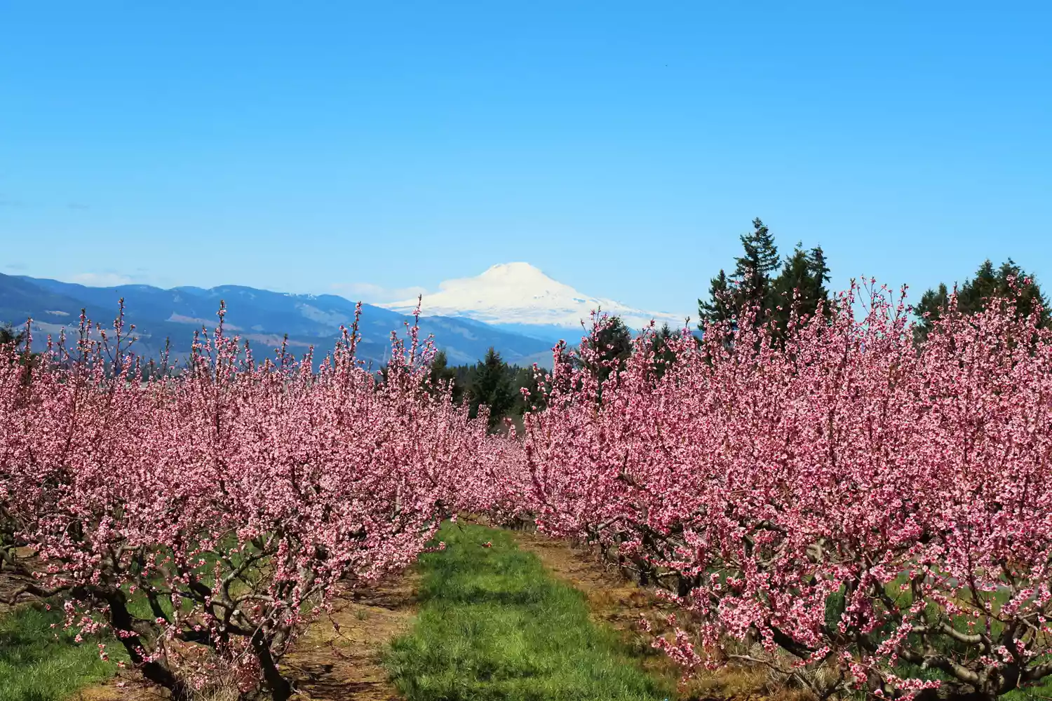
The Best time of year for Rowena Crest wildflowers is undoubtedly from April through early June. During this window, the plateau is carpeted in balsamroot and lupine, creating a sea of yellow and purple against the blue backdrop of the river. The drive here features a series of horseshoe turns known as the "Mosier Loops," a testament to Samuel Lancaster’s rural highway design that sought to make the steep elevation changes as graceful as possible.
FAQ
Where does the Historic Columbia River Highway start and end?
The western segment of the highway begins in Troutdale at the Sandy River Bridge and winds through the gorge to Dodson. It restarts as a drivable scenic route in various segments, ultimately leading through Mosier and finishing near The Dalles. Historically, it connected Portland to the inland empire of Eastern Oregon.
Do I need a permit to drive the Historic Columbia River Highway?
You do not currently need a permit to simply drive the Historic Columbia River Highway itself. However, if you plan to visit Multnomah Falls between May 22 and September 7, 2026, you will need a Multnomah Falls permit requirements 2026 guide to help you secure a $2 timed-use permit if accessing the falls via the I-84 parking lot. Parking along the historic road at the falls is extremely limited and requires a separate fee.
Is the Historic Columbia River Highway different from I-84?
Yes, they are two distinct routes that run parallel. I-84 is a high-speed interstate located at river level, designed for efficiency. The Historic Columbia River Highway (US 30) is a narrow, winding scenic byway located higher on the cliffs, designed for sightseeing and historical appreciation.
What are the best stops along the Historic Columbia River Highway?
The essential stops for any traveler include the Portland Women’s Forum for panoramic views, the Crown Point Vista House for architecture and history, and Waterfall Alley for its numerous cascades including Latourell, Bridal Veil, and Horsetail Falls. The journey should ideally conclude at Rowena Crest for the eastern gorge views.
Can you see Multnomah Falls from the Historic Columbia River Highway?
Yes, the waterfall is directly adjacent to the highway. You can see the base of the falls and the lodge from your vehicle, although the view is much better if you park and walk to the viewing platforms. Be aware that stopping your car in the middle of the road to take photos is strictly prohibited due to traffic safety.